
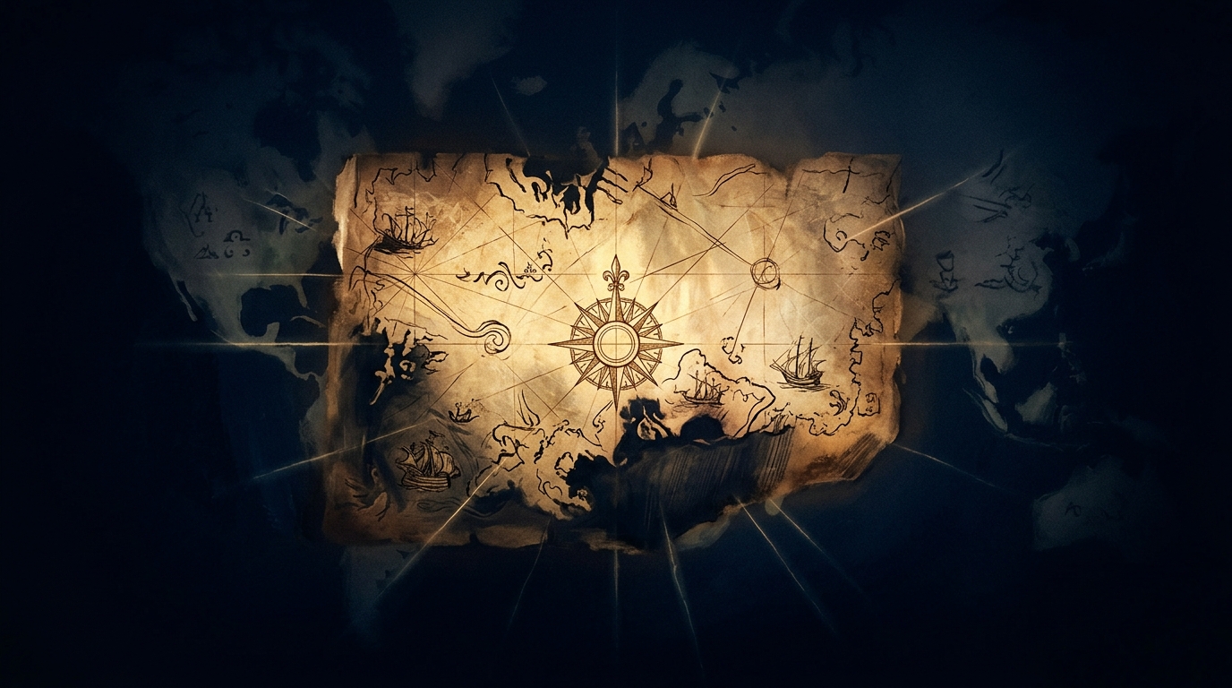
 Codex Illustration
Piri Reis Map
Drawn in Constantinople in 1513 by the Ottoman admiral Piri Reis, this extraordinary map depicts coastlines of Europe, Africa, and the Americas with remarkable accuracy for its era — yet a persistent and deeply contested theory holds that one of its southern landmasses may represent Antarctica, a continent not officially discovered until 1820.
Overview
In 1929, librarians cataloguing the Topkapi Palace in Istanbul made a startling discovery: a large fragment of a world map, drawn on gazelle hide and dated 1513, signed by an Ottoman naval commander known as Piri Reis. This was no ordinary cartographic artifact. The map depicted the Atlantic Ocean with uncommon precision for its period, positioning the coastlines of the Iberian Peninsula, West Africa, and the newly encountered Americas with a fluency that astonished twentieth-century historians. Piri Reis himself noted in marginal annotations — a documented historical record — that he had compiled the map from approximately twenty older source charts, including one he attributed to Christopher Columbus. The map thus presents not a single act of geographic genius, but a distillation of accumulated maritime knowledge stretching back decades and possibly much further.
The genuinely remarkable nature of the Piri Reis map as a historical artifact requires no embellishment: it is one of the oldest surviving maps to depict the Americas with any detail, and its compilation method — drawing on Arabic, Portuguese, Spanish, and earlier classical sources — makes it a vivid document of the early sixteenth-century cartographic renaissance. Scholars such as Gregory McIntosh, whose detailed study of the map was published in 2000 by the University of Georgia Press, have carefully traced the sources Piri Reis likely used and concluded that the map reflects the accumulated European and Islamic geographic knowledge of the late fifteenth and early sixteenth centuries. This scholarly consensus is well established and documented.
The far more sensational layer of the map's modern reputation was introduced in 1966 by Charles Hapgood, an American historian and geographer who argued in his book 'Maps of the Ancient Sea Kings' that the southern landmass on the Piri Reis map represented an ice-free Antarctica, accurately charted by some unknown pre-Columbian — perhaps prehistoric — maritime civilization. Hapgood further proposed that this knowledge had been encoded in ancient source maps, copied across millennia, and eventually incorporated into the Ottoman compilation. Hapgood's thesis attracted widespread popular attention, in part because he received an encouraging letter from Albert Einstein in 1953 — a letter that preceded, and was unrelated to, Hapgood's later Antarctica arguments. This association is frequently overstated in popular accounts.
Mainstream cartographic scholarship has largely rejected Hapgood's Antarctica hypothesis. The southern landmass on the map is now interpreted by most historians as a speculative rendering of South America's coastline, distorted by the map's projection and by the Ptolemaic geographic tradition of a vast southern continent (terra australis incognita) that medieval and Renaissance cartographers routinely appended to world maps as a theoretical necessity. The Piri Reis map is an extraordinary document regardless — a genuine window into the cartographic ambitions of the early Ottoman Empire and the collision of Islamic, classical Greek, and European geographic traditions in one of history's great moments of cartographic synthesis.
Key Claims
Timeline
Evidence
Multiple Perspectives
Biblical Lens
Scripture Threads
Sources & Further Study
Questions to Explore
Go Deeper Path
Follow the Thread
Continue the Investigation
You’ve reached the Full Archive portion of this Case File.
Ask the Archivist
about this fileSign in to ask the Archivist
Create a free account to ask the Archivist 1 grounded question each day, cited straight from the CODEX case files.
Discussion
0Share findings, questions, and evidence with fellow Seekers. Be respectful and cite sources where you can.
No comments yet. Be the first to open this thread.